Key facts
- UN General Assembly endorsed a resolution on Sept. 4, 2026 supporting more accurate world maps showing Africa’s relative size.
- The campaign was led by African states and backed by the African Union.
- Reuters reported the resolution encourages governments and institutions to promote more accurate map projections.
- AP reported Africa is 14 times larger than Greenland in the Equal Earth projection.
- The Mercator projection has long been criticized for distorting land sizes near the poles.
UN vote gives cartographic campaign a global platform
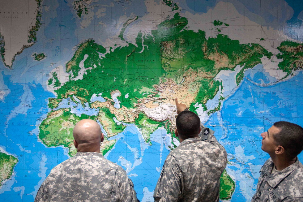
The United Nations General Assembly has endorsed a resolution supporting a move away from the Mercator projection and toward maps that more accurately represent land sizes, including the Equal Earth projection. The vote, held on Friday, Sept. 4, 2026, has given new institutional weight to a campaign led by African states and backed by the African Union to “correct” the map of Africa’s place in the world. Reporting from Reuters, republished by multiple outlets, said the resolution encourages UN member states, international organizations and others to promote more accurate depictions of the continent’s relative size. AP also reported that the General Assembly approved the measure and framed it as the culmination of a recent campaign led by African countries and advocacy groups. ([investing.com](https://www.investing.com/news/world-news/un-approves-resolution-in-support-of-mapthat-shows-africas-true-size-4889878?utm_source=openai))
The political significance of the vote goes beyond cartography. For African governments, the map debate is tied to longstanding arguments that visual distortion can shape perception, education and geopolitical assumptions. Reuters reported that Togo sponsored the resolution on behalf of African states, while the African Union had already endorsed the Correct the Map initiative earlier in 2026. That backdrop matters: the UN action does not change borders or official UN mapping policy overnight, but it does elevate a symbolic issue into a formal international recommendation. ([au.int](https://au.int/en/node/46520?utm_source=openai))
Why the Mercator map has become a target
The Mercator projection, developed in the 16th century for navigation, remains one of the best-known world maps. Its practical strength is also its weakness: it preserves direction but stretches land near the poles, which makes places such as Greenland, Europe and North America appear larger than they are relative to Africa. Reuters and AP both noted that Africa can look comparable to Greenland on the Mercator map, even though Africa is far larger in reality. AP said Africa is 14 times larger than Greenland in the Equal Earth rendering. ([investing.com](https://www.investing.com/news/world-news/un-approves-resolution-in-support-of-mapthat-shows-africas-true-size-4889878?utm_source=openai))
The Equal Earth projection, introduced in 2018, is designed to present continents in their true proportions rather than the distorted appearance created by the Mercator view. That does not make it a perfect solution for every purpose, but it is intended to be a more faithful world map for classrooms, publications and public communication. UNESCO pages on Africa and related cartographic materials also reflect the organization’s broader role in education and representation on the continent, though the UN endorsement itself is the key development here. ([apnews.com](https://apnews.com/article/b138fe9f76d7ff54cc7d5c9b1ddfa983?utm_source=openai))
Africa’s campaign frames the issue as one of perception and fairness
African proponents have argued for years that the map issue affects more than design aesthetics. The central claim is that when a continent appears reduced on the maps most people see in school and online, the visual message can subtly reinforce the idea that it is less significant than other regions. Reuters reported that Togo’s foreign minister described the effort as part of a push for a “fair” map, while the Guardian said the campaign has stressed the educational, cultural and geopolitical consequences of distorted representations. Those are advocacy arguments, not settled scientific findings, but they explain why the issue has resonated across the continent. ([investing.com](https://www.investing.com/news/world-news/un-approves-resolution-in-support-of-mapthat-shows-africas-true-size-4889878?utm_source=openai))
The African Union’s earlier endorsement in February 2026 gave the campaign continental legitimacy before the UN vote. The AU said the initiative was intended to correct distortions that have long misrepresented Africa’s scale and significance. That matters for Kenya and other African audiences because the argument is not about vanity geography; it is about whether the visuals that shape global knowledge reflect the actual size and global role of the continent. ([au.int](https://au.int/en/node/46520?utm_source=openai))
What the resolution does — and does not — mean
The resolution is an endorsement, not a binding mandate that instantly replaces every Mercator map in circulation. Reuters and other outlets described it as urging UN member states and institutions to promote more accurate maps, which means implementation will depend on schools, publishers, technology companies and governments choosing to adopt the Equal Earth projection or other equal-area alternatives. In practical terms, that could influence how maps appear in classrooms, atlases, official reports and digital platforms over time, but it will not erase the Mercator projection from history or from navigation-focused uses. ([investing.com](https://www.investing.com/news/world-news/un-approves-resolution-in-support-of-mapthat-shows-africas-true-size-4889878?utm_source=openai))
The debate also surfaced diplomatic friction. The National reported that the United States opposed the resolution, while Ukraine abstained because of concerns that the Equal Earth projection depicts temporarily occupied territory in a way Kyiv found unacceptable. The Reuters-based coverage also said the resolution passed with broad support, including from France and the UK, underscoring that the vote was largely framed as a cartographic correction rather than a divisive geopolitical test. ([thenationalnews.com](https://www.thenationalnews.com/news/us/2026/09/04/mercator-map-un-equal-earth-us/?utm_source=openai))
Why this story matters for Kenya and the wider world
For Kenyan readers, the map debate is relevant because classrooms, newsrooms and government documents across Africa often rely on the same inherited visual conventions used globally. A map that better reflects Africa’s true proportions may seem symbolic, but symbolism can matter when it shapes how young people imagine the world and Africa’s place in it. That is especially true in an era when digital maps, lesson materials and social media graphics travel faster than traditional atlases ever did. This is an inference based on the public arguments advanced by African supporters of the initiative and on the UN’s endorsement of more accurate representations. ([au.int](https://au.int/en/node/46520?utm_source=openai))
The bigger lesson is that the map itself is not neutral. Every projection makes choices about what to preserve and what to distort, and those choices affect perception. The UN vote does not settle every cartographic question, but it does mark an important recognition that Africa should not be visually minimized by default. If governments, educators and technology companies follow through, the result could be a quiet but meaningful shift in how millions of people picture the continent. ([apnews.com](https://apnews.com/article/b138fe9f76d7ff54cc7d5c9b1ddfa983?utm_source=openai))
What happens next
Implementation is now the real test. The most immediate question is whether UN agencies, member states and major map providers will treat the resolution as a prompt to revise their default world maps. Reuters reported that Togo plans to continue pressing governments, schools, international organizations and technology companies to move away from Mercator-based depictions, suggesting the campaign is entering a new phase focused on adoption rather than advocacy alone. ([currently.att.yahoo.com](https://currently.att.yahoo.com/att/un-approves-resolution-support-map-165812056.html?utm_source=openai))
For now, the landmark is political rather than technical: Africa’s size on the world map has been a source of complaint for decades, and the UN has now signaled that the complaint is worth answering. Whether that translates into durable change will depend on institutions that produce maps every day, from textbook publishers to digital platforms. ([investing.com](https://www.investing.com/news/world-news/un-approves-resolution-in-support-of-mapthat-shows-africas-true-size-4889878?utm_source=openai))
Sources: